
Administrative boundary, drawn AOI, or imported project geometry.
Environmental screening for Indonesian project areasArea → evidence → interpretation → review-ready output
Environmental intelligence for Indonesian projects
Understand a project area before the review starts.
BARUNA turns a project boundary into traceable environmental evidence — observed change, recent detections, rainfall context, spatial context, and an output your team can review or share.
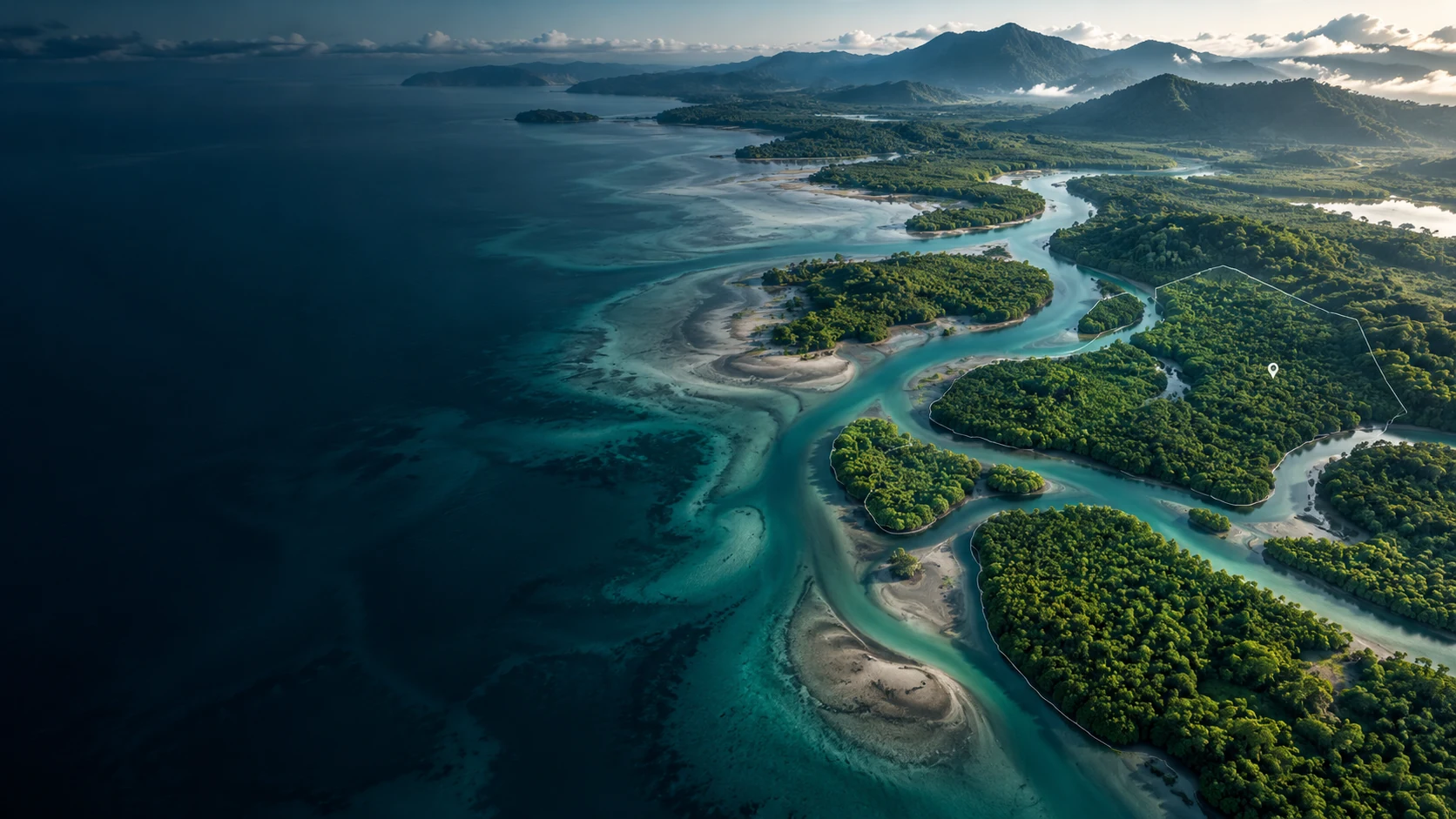
Environmental project contextIndonesia · project-area screening
Choose a workflow
What are you trying to understand?
Start with the question you need to answer. BARUNA routes you to the workflow built for that job.
BARUNA ExplorerCore
What is happening in this area?
Explore tree-cover change, hotspots, rainfall, and spatial evidence across an area.
Explore an area→BARUNA LandPilot
Does this project site need deeper review?
Run a first-pass environmental screening for a project site before deeper due diligence or field review.
Screen a sample site→BARUNA TracePilot
Which plots or suppliers need review?
Review plot-level geospatial evidence and identify where human due-diligence review should focus next.
Review sample plots→BARUNA SentinelDemo
Which locations or assets should I inspect?
Review GNSS movement evidence together with spatial context to prioritize further inspection.
Open Sentinel→From area to evidence
Start with the question, not the layer catalog.
BARUNA is designed around a professional review workflow. Define the area, choose evidence that answers the review question, inspect the result and its limitations, then carry the evidence into the next decision.
Tree Cover Loss, FIRMS, rainfall, and relevant spatial context.
Shareable analysis, concise brief, and analytical export.
Product preview
Show the workflow with one clear product view.
Keep one approved Explorer capture here. It should make the core workflow legible at a glance: define the area, review active evidence, and understand the resulting analysis.
BARUNA Explorer
Project-area evidence workspace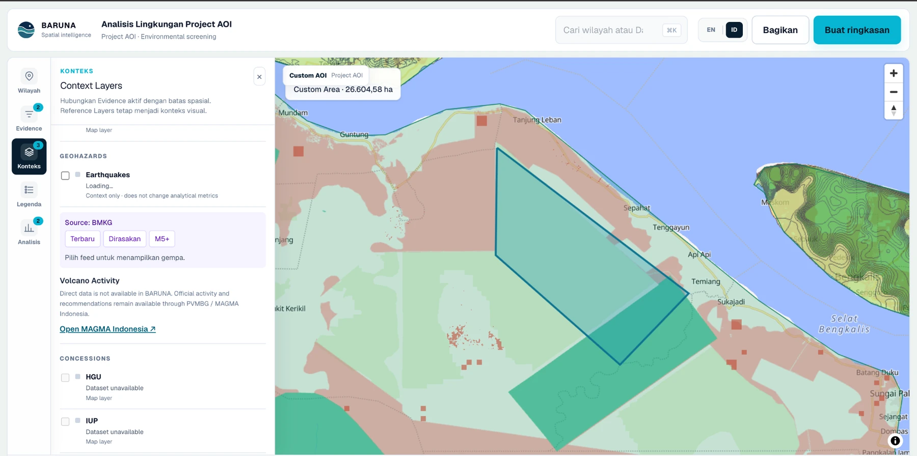
01AreaProject or administrative boundary
02EvidenceTree Cover Loss / FIRMS / Rainfall
03OutputReview-ready analytical result
Where BARUNA fits
Built for the first serious review of a project area.
BARUNA does not replace field verification, legal review, or specialist GIS work. It helps teams get to those next steps with a clearer, traceable evidence package.
Environmental review
Screen an AOI before AMDAL / ESIA work deepens and identify evidence that deserves closer review.
Project screening
Compare candidate project areas and recent environmental signals without assembling a new GIS project for every question.
Land & forestry due diligence
Bring observed change and authorized spatial context into one reviewable, provenance-aware workspace.
Evidence with boundaries
Useful because it is explicit about what the data does not prove.
BARUNA keeps source, period, resolution, availability, and limitations visible. Observations stay observations: Tree Cover Loss is not official Indonesian deforestation, FIRMS hotspots are not confirmed burned area, visual context is not analytical evidence, and spatial overlap is not a legal or compliance finding.